

Wikipedia says:
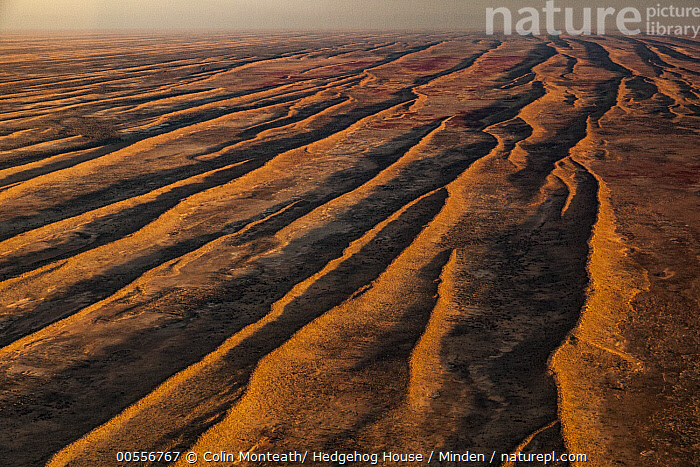
The Simpson Desert is an erg that contains the world’s longest parallel sand dunes.
I’m guessing this part of the map uses the actual surface topography, ie how precipitation would run off through the troughs of the dunes, rather than the underlying aquifer structure. Hmmm 🧐.
It’s the predominant direction of the wind.